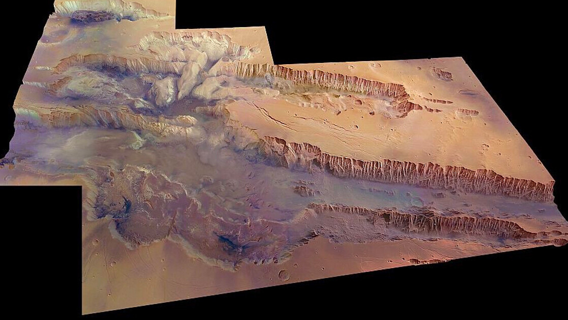
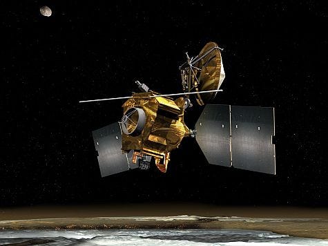
Now, images released on Christmas Day, utilizing the HiRISE (High Resolution Imaging Science Experiment) onboard the Mars Reconnaissance Orbiter, show this mighty rift in stunning detail.
Where’s the river? There was supposed to be a river
More than five million years ago, the Grand Canyon in Arizona was slowly carved out by the flow of water in the Colorado River. But, despite the presence of large quantities of water on Mars in the ancient past, it is unlikely water was the primary cause responsible for the formation of its counterpart on Mars.
[Read: ]
However, the flow of water may have played a role in shaping the Mariner Valley, deepening channels, assisting the formation of this massive planetary rift, researchers speculate.
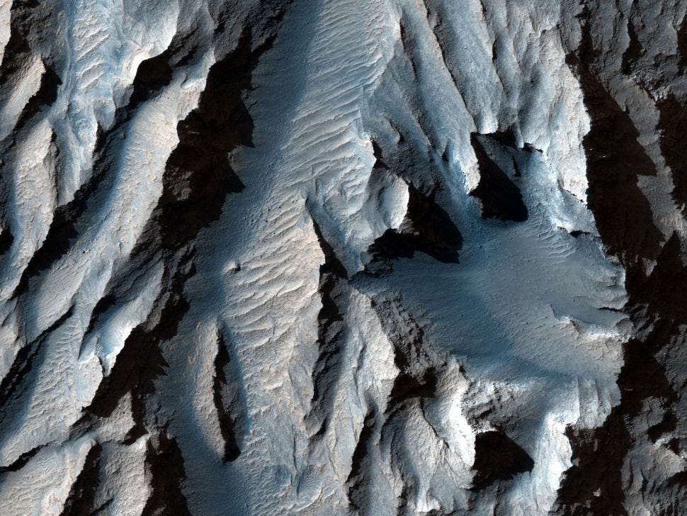
Billions of years ago, the eruption of Martian volcanoes in the Tharsis region near the present-day canyon erupted, ripping the crust. This material then fell, forming the valley, researchers suggest. Over the ensuing eons, landslides and magma flows (together with water) may have helped shape the site we know today.
“The canyon extends from the Noctis Labyrinthus region in the west to the chaotic terrain in the east. Most researchers agree that Valles Marineris is a large tectonic ‘crack’ in the Martian crust, forming as the planet cooled, affected by the rising crust in the Tharsis region to the west, and subsequently widened by erosional forces,” NASA describes.
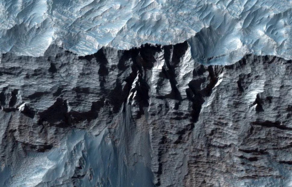
The movement of magma would have resulted in a swelling of ground near the Tharsis region would have lifted the Martian crust, resulting in fractures in the ground. This would have allowed subsurface water to escape, growing the canyon.
“Strong water flows may have reshaped Valles Marineris after it was formed, deepening the canyon. Mineralogical information collected by orbiting spacecraft, including Mars Express, shows that the terrain here was altered by water hundreds of millions of years ago,” The European Space Agency reports.
In February, a trio of spacecraft — from NASA, China, and the UAE — will arrive at the Red Planet. Included in these flights is the first helicopter ever designed to fly on another planet — Ingenuity.
Mars has secrets to share — and 2021 promises to bring us all a new wealth of knowledge (and stunning images) from the Red Planet.
This article was originally published on The Cosmic Companion by James Maynard, founder and publisher of The Cosmic Companion. He is a New England native turned desert rat in Tucson, where he lives with his lovely wife, Nicole, and Max the Cat. You can read this original piece here.
Astronomy News with The Cosmic Companion is also available as a weekly podcast, carried on all major podcast providers. Tune in every Tuesday for updates on the latest astronomy news, and interviews with astronomers and other researchers working to uncover the nature of the Universe.
Get the TNW newsletter
Get the most important tech news in your inbox each week.